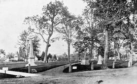
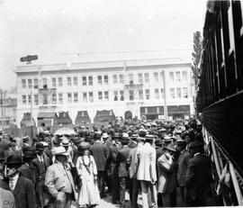
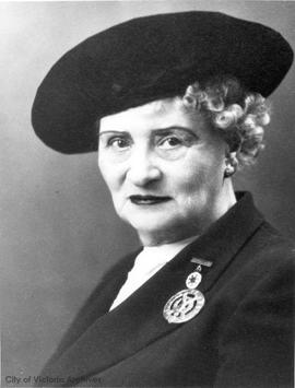
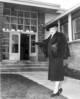
Located behind the Empress Hotel on the site of the Crystal Gardens.
Boarders outside home at the corner of Richmond and Fort Streets.
Tower in right background is the Tiger's Fire Hall.
S.W. corner Waddington Alley and Johnson Street.
Address previously 125 Johnson Street.
L to R: Henry T. Ward, Agnes Ward and unidentified man.
Later known as Pioneer Square. Meares Street in the background.
Now 1612-1614 Store Street.
N.W. corner of Douglas Street and View Street
N.W. corner of Government and Wharf Streets.
Part one of a two-part panorama.
A.O.U.W. Hall at right.
S.W. Government and Yates Streets.
Heydon, A.T.Horse show building behind grandstand, next to that is the rabbit house, and on far left, the poultry building.
Located on Fort Street between Broad Street and Government Street.
S.E. corner of Store Street and Cormorant Street.
N.W. corner of Yates Street and Douglas Street.
Hall and LoweLooking east on May Street. Building in the S.E. corner is 145 Moss Street.
Dallas Road looking east from Dock Street. Showing 312 Dallas Road in the left foreground. Small white house is 322 Dallas Road. Car in foreground.
Elliot Street, lower left. South Park School, upper right.
Coach and Four Restaurant on left, Hall & Co., HJ Landon and Sons and Duncan Storage on right.
Barnard, J.1900 Store Street.
Showing Inner Harbour and Empress Hotel under construction.
The arrival of the Duke and Duchess of Cornwall and York.
The Clarence Hotel on N.E. corner with I.O.O.F. building beside it. Kellogg Drugstore on N.W. corner. Steeple of the Iron Church in background.
From a newspaper clipping attached to a letter from the City Engineer to the Mayor and Council.