Locations of fire halls, radiac instruments and emergency instruction points added by hand.
Shows buildings in Victoria and part of Oak Bay. Vol. 4 contains maps of Victoria West only.
Shows buildings in Oak Bay, Saanich, Esquimalt and Victoria West. Each volume has an index map.
Shows lots, and location of sanitary sewer, surface drains, water mains, gas mains, sewer manholes, drain manholes, sewer vents, drain vents, and bench marks. Note on map: "This plan not correct to scale. J.R.H. 1953". -- "A.P.-33-2,4,5,6-1-49".
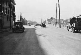
Looking east down Dallas towards Clover Point.
Water mains at intersections located and numbered. Boundaries of four sections of the city drawn. Information not plotted for Downtown and Victoria West.
Shows general topography and major roads and buildings in the city.
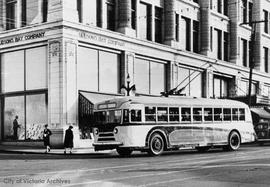
At the intersection of Gorge Road East, Government Street, Hillside Avenue and Douglas Street. Monterey Restaurant sign in foreground.
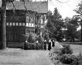
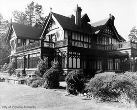
Victoria (B.C.)St. Mary's Priory, home of the Sisters of the Love of Jesus.
St. Mary's Priory, home of the Sisters of the Love of Jesus.
Looking towards 655 and 671 Niagara.
Shows roads, railways, buildings, post offices and schools. Relief by contour.
Relief shown by contours. Monitor stations at Westholme, Sidney and Victoria and lines to other designated points added by hand. Inset: [Index map].
Behind the counter facing the camera are (L-R) Mary Hinchcliffe and Wally Hinchcliffe. Woman with her back turned is Margaret Rivers with her son Bryan Rivers.

